Texas

Resilience System


You are here

Weather - TX

Primary tabs

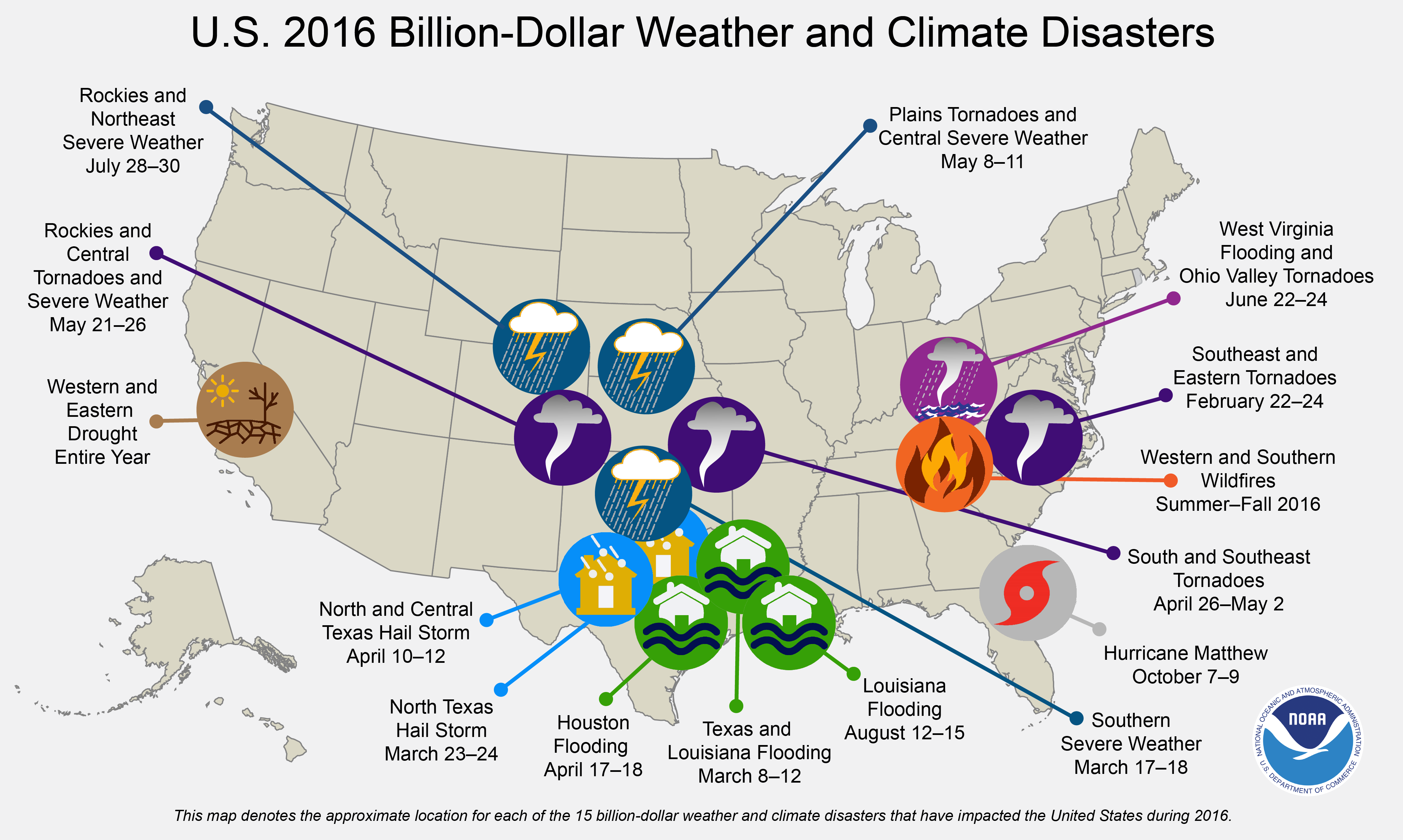
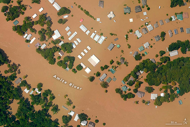
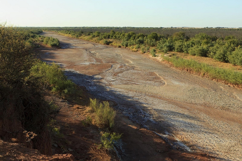
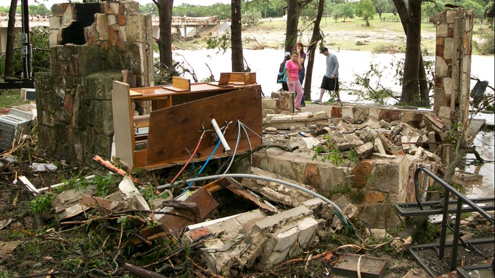
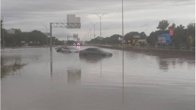
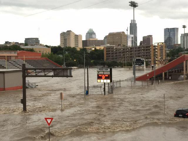
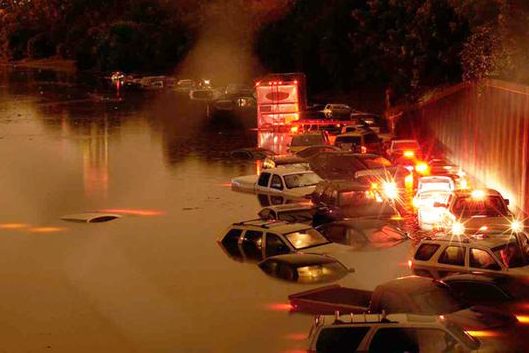
This working group is focused on discussions about weather.

The mission of this working group is to focus on discussions about weather.

Members

Kathy Gilbeaux mdmcdonald MDMcDonald_me_com

Email address for group

weather-tx@m.resiliencesystem.org

2016: A Historic Year for Billion-Dollar Weather and Climate Disasters in U.S.


CLICK HERE - NCDC - NOAA - Billion-Dollar Weather and Climate Disasters: Overview

climate.gov - by Adam B. Smith - January 9, 2017

NOAA’s National Centers for Environmental Information (NCEI) tracks U.S. weather and climate events that have great economic and societal impacts (www.ncdc.noaa.gov/billions). Since 1980, the U.S. has sustained 203 weather and climate disasters where the overall damage costs reached or exceeded $1 billion (including adjustments based on the Consumer Price Index, as of January 2017). The cumulative costs for these 203 events exceed $1.1 trillion.

Country / Region Tags: 
Problem, Solution, SitRep, or ?: 

Over 20 Inches of Rain Triggers Historic Flash Flooding In Parts of the South


Sarah Yatcko, left, holds her son Tucker Neal as they are evacuated by boat with her father Jim Yatcko, by Bossier Parish Sheriff personnel during rising floodwaters in Bossier Parish, La., Thursday, March 10, 2016. (AP Photo/Gerald Herbert)

weather.com - by Quincy Vagell and Chris Dolce and Jon Erdman - March 10, 2016

Torrential rainfall continues to swamp parts of the South, smashing March records, and triggering major flash flooding and worsening river flooding in parts of Louisiana, Texas, Arkansas and Mississippi. Heavy rain has also spread into parts of western Tennessee, western Kentucky, and western Mississippi.

More than 20 inches of rain had fallen near Monroe, Louisiana, by Thursday morning, prompting numerous rescues. The official airport reporting station in Monroe had picked up 18.96 inches of rain in less than two days by 12 p.m. CST Thursday. This is closing in on the record wettest month for that location set in October 2009 when 20.56 inches was recorded.

Major flooding has also swamped the Shreveport, Louisiana, area where up to 16 inches of rain has fallen. Elsewhere, double-digit rainfall totals have been recorded in east Texas, southern Arkansas, and northwest Mississippi.

Country / Region Tags: 
General Topic Tags: 
Problem, Solution, SitRep, or ?: 

Texas Facing Major Climate Change Impacts, Study Finds


The Brazos River in Knox County during the summer of 2011.  Photo by Earl Nottingham/Texas Parks & Wildlife

CLICK HERE - Come Heat and High Water: Climate Risk in the Southeastern U.S. - Executive Summary

CLICK HERE - Come Heat and High Water: Climate Risk in the Southeastern U.S. (114 page .PDF report)

texastribune.org - by Kiah Collier - July 28, 2015

Texas probably will see a sharp increase in heat-related deaths and coastal storm-related losses in the coming decades if nothing is done to mitigate a changing climate, according to a new study commissioned by a bipartisan group of prominent policymakers and company executives aiming to spawn concern – and action – in the business community over the much-debated warming trend.

Country / Region Tags: 
General Topic Tags: 
Problem, Solution, SitRep, or ?: 

Texas - Catastrophic and Historic Flooding

                            Wimberley, Texas                                                    San Marcos, Texas


                          Austin, Texas                                                                Houston, Texas


AN EXPANDING LIST OF FLOOD-RELATED INFORMATION AND ASSISTANCE RESOURCES (CLICK ON THE LINKS BELOW)

CLICK HERE -President Declares Disaster for Texas

CLICK HERE - Federal Aid Programs for State of Texas Declaration

CLICK HERE - Texas Department of Public Safety - Emergency Management - Situation Reports

Country / Region Tags: 
Problem, Solution, SitRep, or ?: 

'Possibly Catastrophic': Texas Braces for Even More Flooding


People canoe through floodwaters in Houston on Saturday, May 30.  Torrential rains have given Texas the wettest month on record, according to Texas A&M climatologists.  In all, 37.3 trillion gallons of water have fallen over the state in May, the National Weather Service said.

cnn.com - by Kevin Conlon - June 14, 2015

(CNN) For portions of rain-battered Texas, the warnings issued by the National Weather Service on Sunday must have seemed like a cruel joke: a tropical storm that is potentially forming in the Gulf of Mexico is headed straight for them.

"Through Wednesday, widespread rainfall totals could easily average 6 to 8 inches with some amounts exceeding 10 inches," read the ominous forecast issued by the weather service office in Houston. "This will obviously lead to a dangerous flood situation."

Local officials sounded even more alarmed, calling the event "possibly catastrophic."

(READ COMPLETE ARTICLE)

Country / Region Tags: 
Problem, Solution, SitRep, or ?: 

Surging Seas - Risk Finder: Texas

(CLICK HERE - INTERACTIVE MAP - Surging Seas - Risk Finder: Texas)

(CLICK HERE - Surging Seas - Risk Finder: Texas)

Searchable interactive map of sea level rise & flood risk areas

Climate Central - An independent organization of leading scientists and journalists researching and reporting the facts about our changing climate and its impact on the American public.

(CLICK HERE - Climate Central)

Country / Region Tags: 
General Topic Tags: 
Problem, Solution, SitRep, or ?: 

Sea, Lake, and Overland Surges from Hurricanes (SLOSH)

nhc.noaa.gov

SLOSH Model - Introduction

The Sea, Lake and Overland Surges from Hurricanes (SLOSH) model is a computerized numerical model developed by the National Weather Service (NWS) to estimate storm surge heights resulting from historical, hypothetical, or predicted hurricanes by taking into account the atmospheric pressure, size, forward speed, and track data. These parameters are used to create a model of the wind field which drives the storm surge.

The SLOSH model consists of a set of physics equations which are applied to a specific locale's shoreline, incorporating the unique bay and river configurations, water depths, bridges, roads, levees and other physical features.

(READ COMPLETE ARTICLE)

Country / Region Tags: 
Problem, Solution, SitRep, or ?: 

Pages

howdy folks